11-07-2018
View:
2823
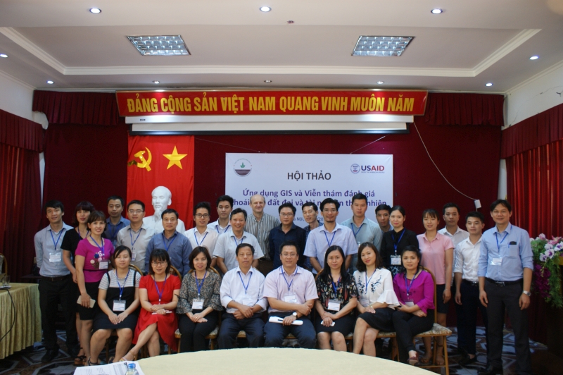
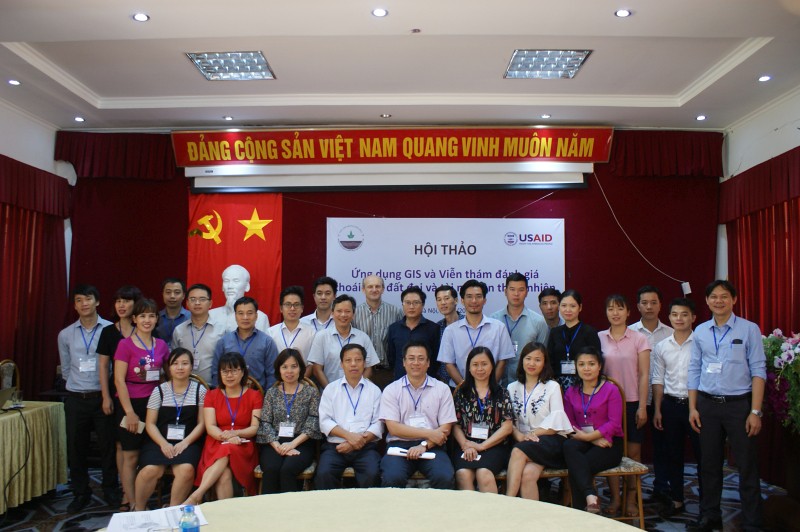
On 5/15/2018, the workshop on “GIS and Remote Sensing Application for Assessment of Land degradation and Natural resources” was held at the Soils and Fertilizers Research Institute (SFRI). Dr. Tran Minh Tien, Deputy Director of SFRI chaired the workshop.
The aims of this workshop are to introduce and discuss the results after more than one year of the PEER project “GIS and Remote Sensing Application for Assessment of Land degradation in the Lower Mekong River Basin”, a project funded by the United States Agency for International Development (USAID). In addition, in order to increase exchanges and promote research networks, some researchers from other organizations who had related studies were also invited to present the results at the workshop.
The workshop hosted the representatives from research organizations such as the Institute of Research for Development (IRD), the World Agroforestry Center (ICRAF); Representatives from Universities: Vietnam University of Agriculture (VNUA), Vietnam Forestry University (VNUF), Water Resources University; Representatives from the Vietnam Remote Sensing Center (RSC), the Institute of Agricultural Environment, the Vietnam Academy of Forest Sciences (VAFS), Vietnam Institute of Geosciences and Mineral Resources (VIGMR) and researchers from the Soils and Fertilizers Research Institute.
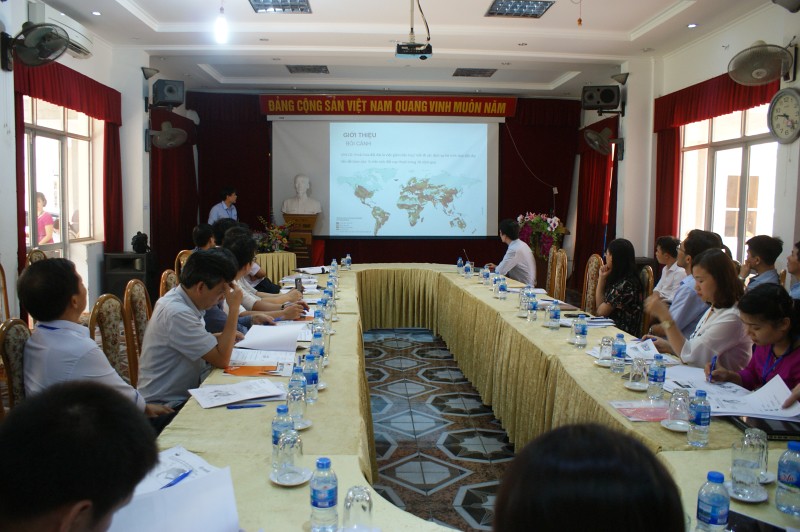
Dr. Vu Manh Quyet, the project’s PI introduced the research and presented results after more than one year of implementation. The location of the project is the Lower Mekong River Basin countries including Vietnam, Laos, Cambodia and Thailand which are high population, limited land resources and inappropriate agricultural practices leading to significant land degradation. Dr. Quyet also emphasized the application of available spatial time series data as a new approach for assessing the hotspots of land degradation. The spatial areas of land degradation over 30 years have been shown. These hotspots of human-induced land degradation can be used as spatially explicit and will support land-use policy makers and planners/donors in better targeting the degraded areas and optimizing their limited budgets.Scientists from other research institutions including Vietnam Institute of Geosciences and Mineral Resources (MoNRE), Vietnam University of Agriculture ave also presented studies on the application of remote sensing imagery as an important data source in assessment and management of natural resources.
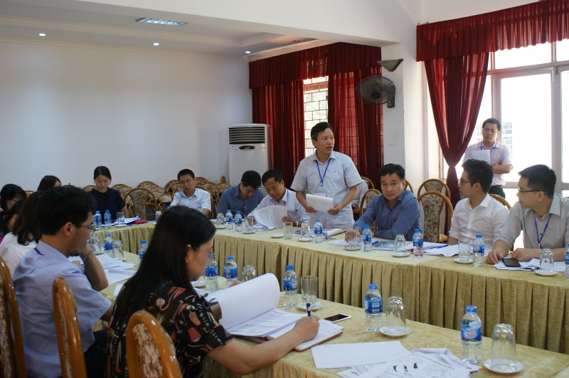
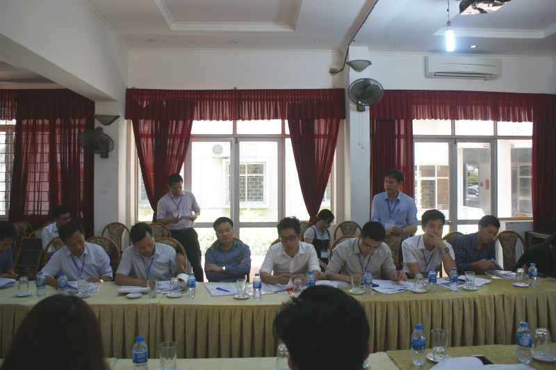
The positive feedback and comments from scientists, managers were given to the implementation of the project “GIS and Remote Sensing Application for Assessment of Land degradation in the Lower Mekong River Basin”. Their comments appreciated the results of the project, proposed some spatial analysis to clarify the results and suggested similar assessments and analyzes at different scales for the province, district levels and including some future scenarios if possible. In addition, the comments also focused on the application of geographic information systems and remote sensing in specific agricultural areas, the linkage between researchers and policymakers in the delivery of research results to the reality, the establishment of a research network to strengthen the capacity of implementation and exchange of results.
By Vu Manh Quyet
Photos by Dinh Tu Anh